


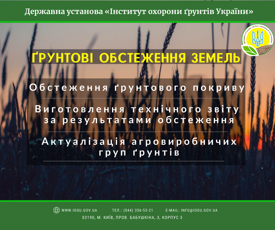
Soil, geobotanical and other land surveys during Land Management are carried out in order to obtain information about the qualitative state of land, as well as to identify lands that are affected by water and wind erosion, flooding, radioactive and chemical pollution, and other negative phenomena.
The information obtained during surveys is used for:
а) conducting agroecological land assessment;
b) development of forecasts and programs for land use and protection, schemes and projects land management;
c) keeping records on the quality of land;
d) conducting land monitoring;
e) adoption by executive authorities and local self-government bodies of decisions on land reclamation and conservation, introduction of restrictions on land use, restoration, preservation and improvement of soil fertility, improvement of natural landscapes, etc.;
f) development of land management measures for the organization of rational use and protection of land;
g) justification of business plans and land management projects.
Specialists of the SI “Derzhgruntokhorona” have extensive experience in this area of activity and are always willing to advise on these issues.
In order to get for advice and additional information, as well as to find out the cost of work, please contact the following phone number:
e-mail: info@old.iogu.gov.ua